

You're now following
Error following user.
This user does not allow users to follow them.
You are already following this user.
Your membership plan only allows 0 follows. Upgrade here.
Successfully unfollowed
Error unfollowing user.
You have successfully recommended
Error recommending user.
Something went wrong. Please refresh the page and try again.
Email successfully verified.

pancevo, serbia
It's currently 8:50 PM here
Joined April 30, 2007
2 Recommendations
Darko J.
@ReflectColor
6.4
6.4
91%
91%
pancevo, serbia
96%
Jobs Completed
100%
On Budget
100%
On Time
19%
Repeat Hire Rate
Code Development | Google Maps | GIS
Contact Darko J. about your job
Log in to discuss any details over chat.
Portfolio
Portfolio


Google Maps & Fusion Tables

Google Maps & Fusion Tables
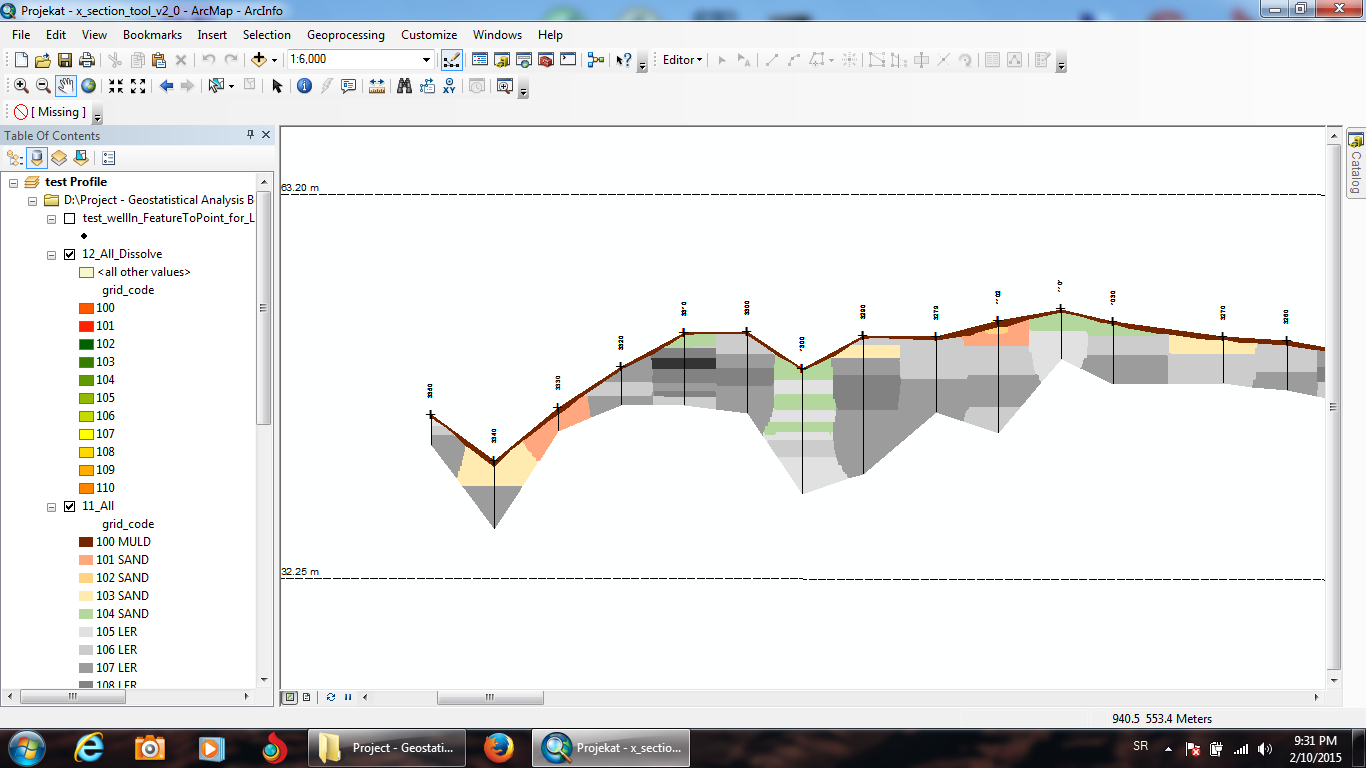

GIS (ESRI ArcGIS and ArcScene software)
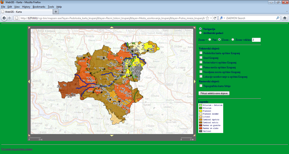

MapServer & PostgreSQL/PostGIS & MS SQL server
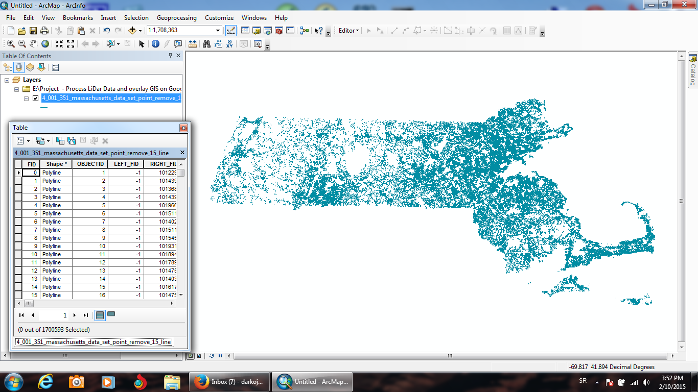

Remote Sensing & PostgreSQL/PostGIS & Google Maps
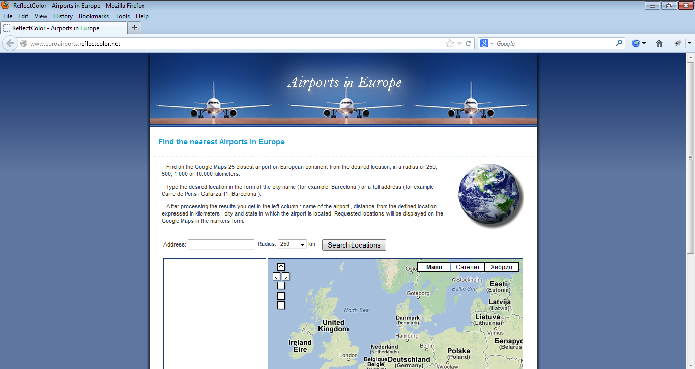

Google Maps & PHP & MySQL
Google Maps & Fusion Tables
Google Maps & Fusion Tables
GIS (ESRI ArcGIS and ArcScene software)
MapServer & PostgreSQL/PostGIS & MS SQL server
Remote Sensing & PostgreSQL/PostGIS & Google Maps
Google Maps & PHP & MySQL
Reviews
Changes saved
Showing 1 - 5 out of 38 reviews
$120.00 USD
Cartography & Maps
Geolocation
GPS
Geospatial
B

•
$578.91 USD
PHP
Cartography & Maps
MySQL
Geolocation
+1 more
G

•
$100.00 USD
PHP
Cartography & Maps
MySQL
Geolocation
+1 more

•
$400.00 USD
Python
Software Architecture
Cartography & Maps
NoSQL Couch & Mongo
Geospatial
•
$326.41 USD
Cartography & Maps
Geospatial
ASP.NET
Microsoft SQL Server
Google Maps API
S
•
Education
M.Sc. Information Systems and Technologys (Faculty of Organizational Sciences)
(2 years)
Qualifications
Master's degree in Information Systems and Technology
Faculty of Organizational Sciences, University of Belgrade
2011
Publications
Application of USLE, GIS, and Remote Sensing in the Assessment of Soil Erosion Rates in Southeastern Serbia
Polish Journal of Environmental Studies
The assessment of soil erosion rate and its spatial distribution in the hilly-mountainous Nisava River basin was conducted by Universal Soil Loss Equation (USLE) model through a GIS-based approach. A Landsat 7 Enhanced Thematic Mapper (ETM+) image and normalized difference vegetation index (NDVI) were used for the determination of crop management factor. The average annual soil loss was estimated at 13.1 t·ha-1·yr-1, classifying the Nisava River basin under the high erosion rate category. Abou
Spatial modelling of soil erosion potential in a mountainous watershed of South-eastern Serbia
Springer
This work aims at the assessment of soil erosion rate and its spatial distribution in hilly mountainous Nisava River Basin (South-eastern Serbia) with a surface area of approximately 2,848 km2. The study was conducted using Universal Soil Loss Equation (USLE) model due to its modest data demand and easy comprehensible structure. The erosion factors of USLE were collected and processed through a GIS-based approach. Landsat 7 Enhanced Thematic Mapper (ETM+) image and normalized difference vegetation index (ND
Contact Darko J. about your job
Log in to discuss any details over chat.
Verifications
Certifications
Top Skills
Browse Similar Freelancers
Browse Similar Showcases
Invite sent successfully!
Thanks! We’ve emailed you a link to claim your free credit.
Something went wrong while sending your email. Please try again.
Copy to clipboard failed, please try again after adjusting your permissions.
Copied to clipboard.
Loading preview
Permission granted for Geolocation.
Your login session has expired and you have been logged out. Please log in again.